
File:Ile-de-France region location map.svg

Dimensioni di questa anteprima PNG per questo file SVG: 742 × 600 pixel. Altre risuluzioni: 297 × 240 pixel | 594 × 480 pixel | 951 × 768 pixel | 1 267 × 1 024 pixel | 2 535 × 2 048 pixel | 1 651 × 1 334 pixel.
Imagine in alta resoluzione (file in formato SVG, dimensioni nominali 1 651 × 1 334 pixel, dimensione del file: 944 KB)
sommariu
| Luogo dello scatto | | Posizione di questa e altre immagini su: OpenStreetMap |
|---|
| Descrizzione |
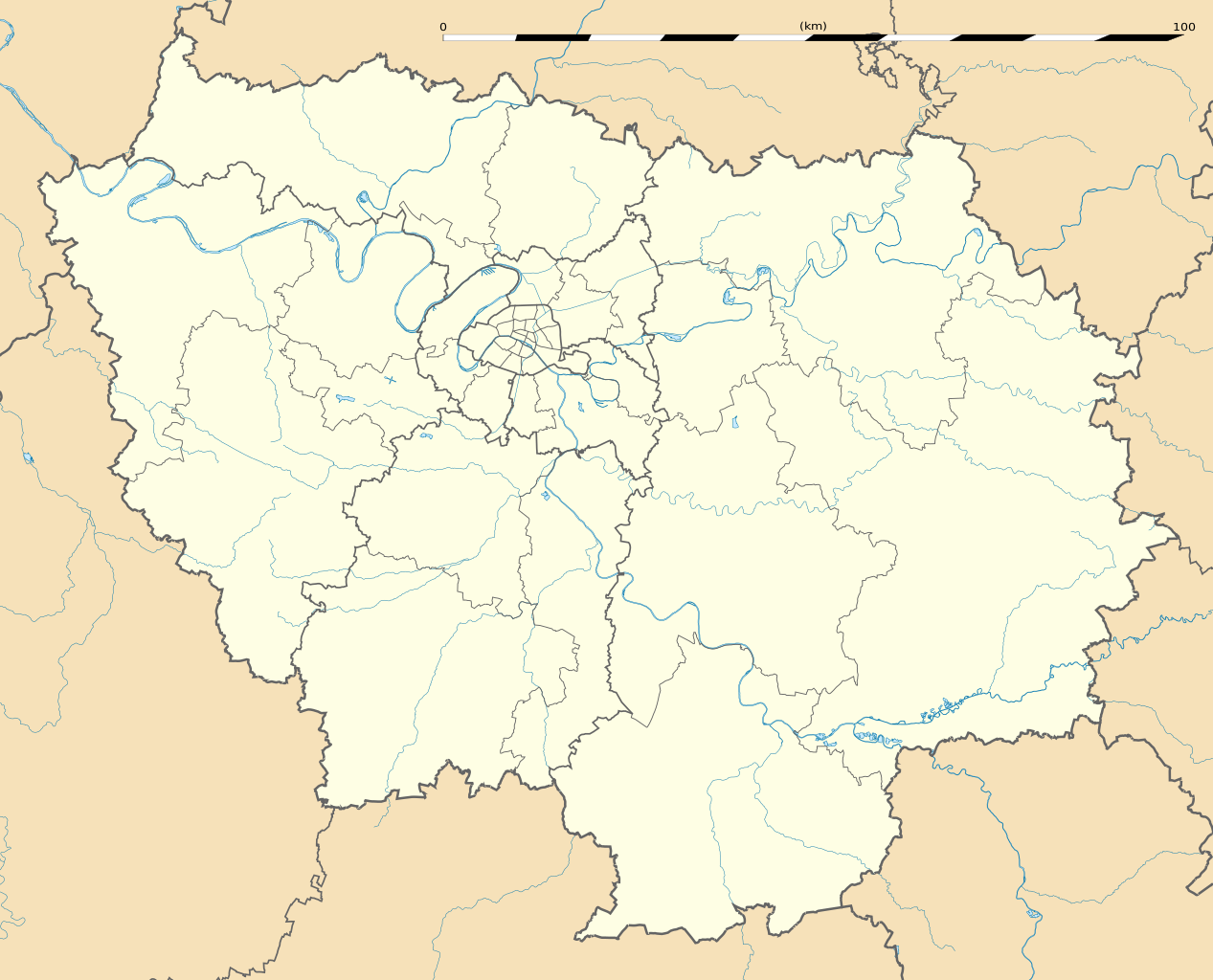
English: Blank administrative map of the region of Île-de-France, France, as in January 2015, for geo-location purpose, with distinct boundaries for regions, departments and arrondissements.
Français : Carte administrative vierge de la région Île-de-France, France, telle qu'en janvier 2015, destinée à la géolocalisation, avec limite distincte des régions, départements et arrondissements. Estimated scale: 1:400,000 (precision: 100 m)
Geographic limits of the map:
|
||
| Data | |||
| Fonte |
Lavoru pròpriu
|
||
| Autore | Eric Gaba (Sting - fr:Sting) | ||
| Permessu (Riusare questo file) |
|
||
| Altre versioni |
|

Licenzia:
Eric Gaba, Wikimedia Commons user Sting, detentore del copyright su quest'opera, dichiara di pubblicarla con la seguente licenza:
Questo file è disponibile in base alla licenza Creative Commons Attribuzione-Condividi allo stesso modo 3.0 Unported
Attribuzione: Eric Gaba, Wikimedia Commons user Sting
- Poi:
- di cundivide – di cupià, distribuì é trasmette l'òpera
- di rimischjà – d'adattà u travàgliu
- À e cundizioni seguenti:
- attribuzione – Devi fornire i crediti appropriati, un collegamento alla licenza e indicare se sono state apportate modifiche. Puoi farlo in qualsiasi modo ragionevole, ma non in alcun modo che suggerisca che il licenziante approvi te o il tuo uso.
- condividi allo stesso modo – Se remixi, trasformi o sviluppi il materiale, devi distribuire i tuoi contributi in base alla stessa licenza o compatibile all'originale.
Cronolugia di l'imagine
Fare clic su un gruppo data/ora per vedere il file come si presentava nel momento indicato.
| Data/Óra | Previsualizzazione | Dimensione | Cuntributore | Cummentu | |
|---|---|---|---|---|---|
| attuale | 15:21, 12 fer 2015 | | 1 651 × 1 334 (944 KB) | Sting | Boundaries correction |
| 16:25, 22 ghje 2015 |  | 1 651 × 1 334 (945 KB) | Sting | Boundaries correction | |
| 14:03, 21 ghje 2015 |  | 1 651 × 1 334 (943 KB) | Sting | == {{int:filedesc}} == {{Location|48|40|30|N|02|30|00|E|scale:1000000}} {{Information |Description={{en|Blank administrative map of the region of Île-de-France, France, as in January 2015, for geo-location purpose, with distinct... |
Ligami
Ùn ci hè micca pàgine chì utilìzanu ssu schedàriu.
Usu glubale di u schedariu
Anche i seguenti wiki usano questo file:
- Usu nantu à af.wikipedia.org
- Usu nantu à als.wikipedia.org
- Usu nantu à ast.wikipedia.org
- Usu nantu à azb.wikipedia.org
- پاریس
- ارژانتوی
- کولومب فرانسه
- کوربوآ
- ورسای
- کرتی
- ویتری-سور-سن
- سرژی
- لوالوآ-پره
- ایسی-له-مولینو
- سن-مر-د-فوسه
- روی ملمزون
- اپینه-سور-سن
- اتی مون
- اوی، ایولین
- ایوری-سور-سن
- آلفورویل
- برتینی-سور-ارژ
- برونوآ
- بری-سور-مرن
- بنیوله
- بوآ-کلمب
- بوبینی
- بوندی
- پلزو
- پونتوآز
- پیروفیت سور سن
- ترامبله آنفرانس
- دروی
- دمری للیس
- دوی لبر
- روزنی سو بوآ
- ری اورانژی
- ژنویلیه
- ژیف سور ایوت
- سن-مانده
- سن ژرمن آن له
- سن کلو
- سن میشل سور اورژ
- سورزن
- سوینیی سور اورژ
- شاتنه-ملبری
- شام سور مرن
- شتو
- شرانتون-لو-پون
Visualizza l'utilizzo globale di questo file.